
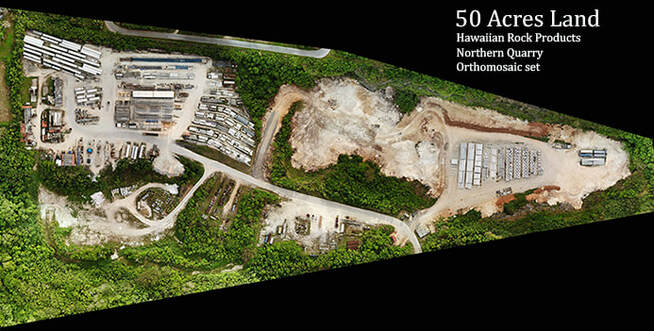
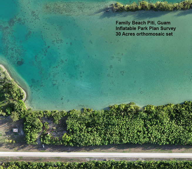
We are experienced in creating Orthomosaic Maps, Digital Elevation Models (DEMs), Digital Terrain Models (DTMs) etc. for large areas like solar farm, open fields, quarries, vegetable farms, subdivision etc.
PHOTOGRAMMETRY
Top view aerial image of large areas taken with multiple pictures at 400 feet and are stitch together by our smart software.
ENGINEERING
We can export files for Digital Elevation(DEMs), Digital Terrain Models(DTMs), Contours for use with 3rd party software. i.e. AutoCAD, GIS etc.
3D MODELLING
Not perfect yet, but we provide 3d models that are decent enough for presentations. We also provide point cloud export which is perfect for 3d measuring.
CUSTOM PROJECTS
We will accept any drone challenges that you may have. Just talk to us and discuss your project and we will custom a project approach efficiently and economically.
